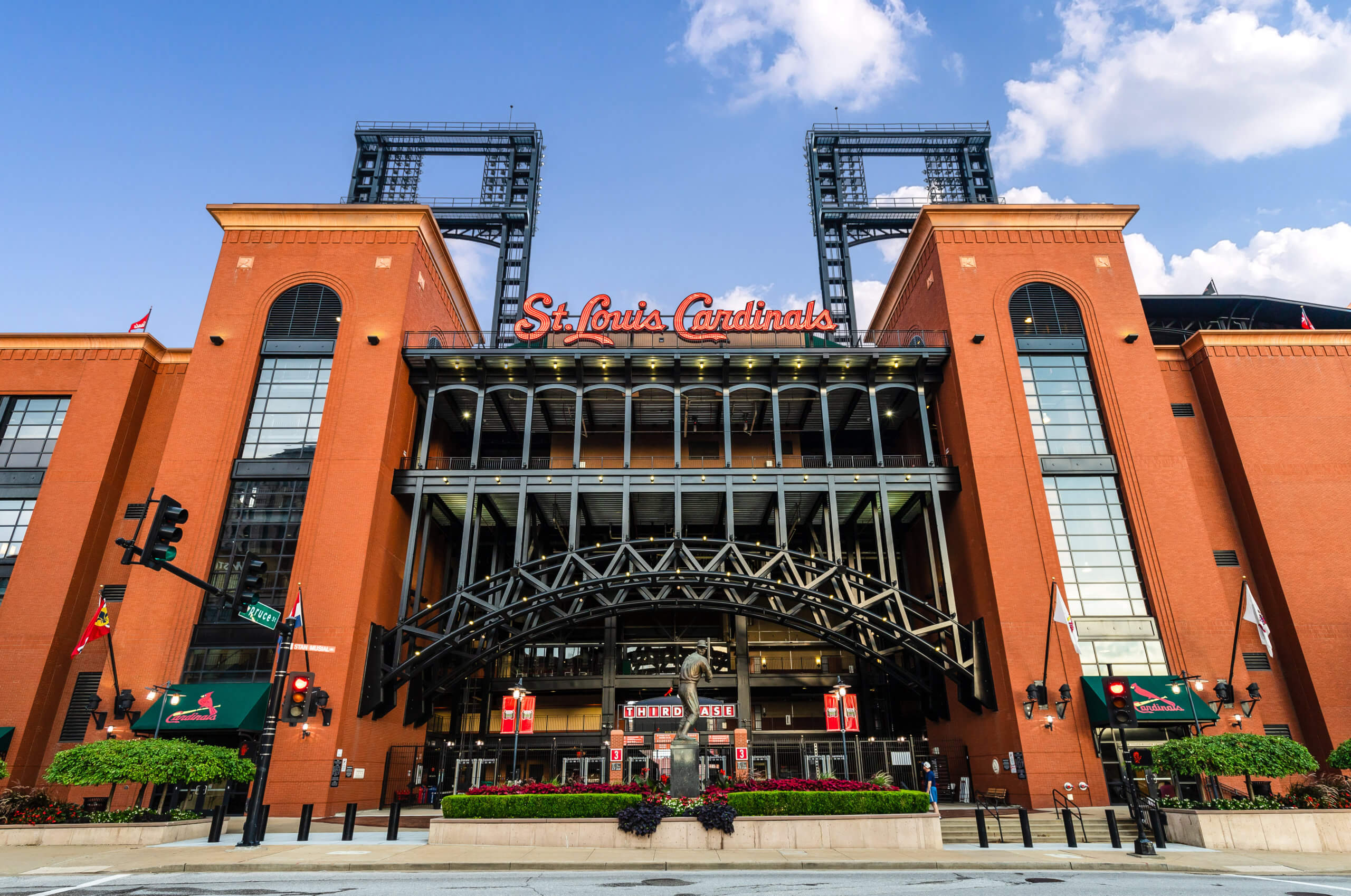
Business Banking


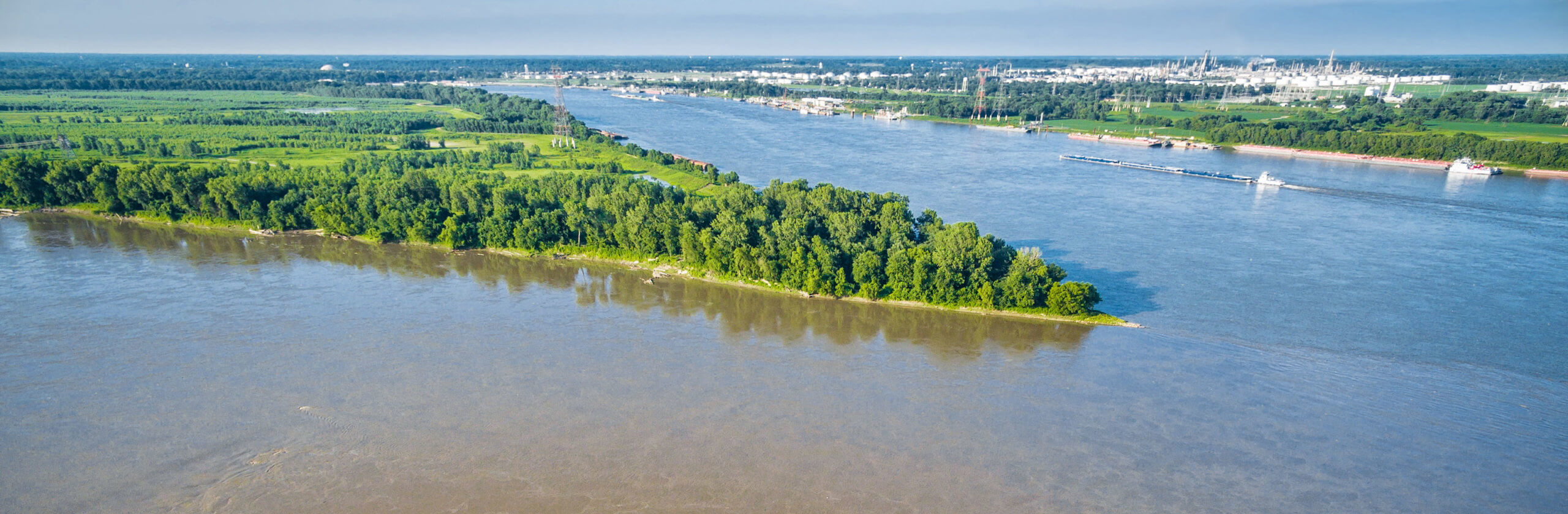
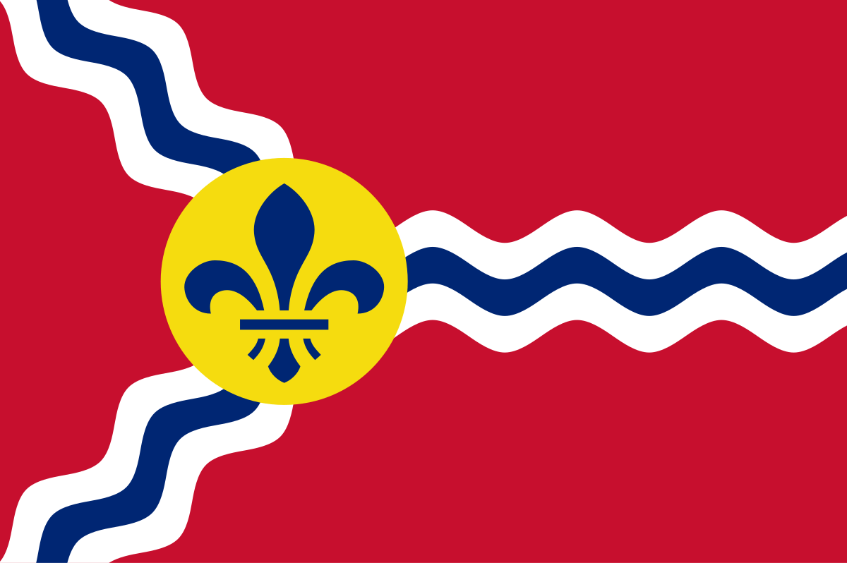
The Saint Louis flag is beautiful in its simplicity—two wavy blue and white lines merging into one under the Fleur de Lis. Most people recognize that this is the confluence of the Missouri and Mississippi Rivers, but what is less obvious is that this geography is one of the greatest natural wonders in the entire world.
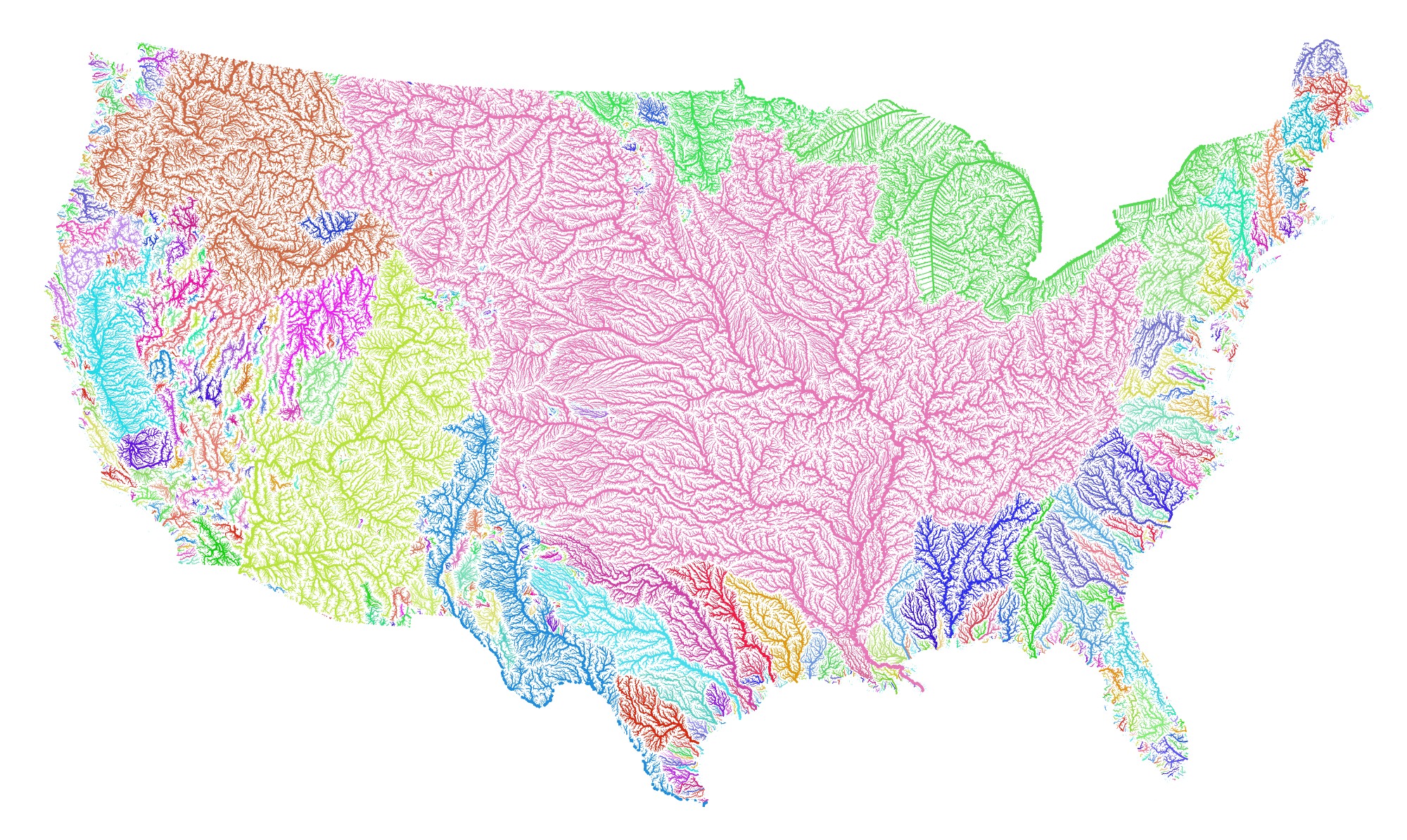
If you live in the area, you have surely crossed the Mississippi and the Missouri rivers. But driving at highway speed over a modern steel bridge may create the illusion that the rivers are ordinary. However, if you trace each of the little lines on a map, like the one shown below, you may get a better sense of their scale and magnificence. The Missouri River is the longest river in North America, while the second-longest, the Mississippi holds the most water, and their confluence occurs right here, just a few miles north of our city.[1]
French explorer Father Pierre Francois de Charlevoix, who traveled through hundreds of rivers and lakes between Canada and the Caribbean, was struck by the confluence when he came upon 300 years ago. He noted the force of the white, silty Missouri flowing unbroken into the broad, muddy Mississippi. “I believe this is the finest confluence in the world,” he wrote.[2]
The area has inevitably changed in many ways since de Charlevoix first came upon it. The floodplains have shifted naturally over the centuries and in the 1950s, most of the area was cleared for farmland.
The Mississippi has long been a major artery through which goods and people enter and leave the country, which made the confluence the proverbial gateway to the American west, a launching point for trade and explorers.
The Missouri River begins in the mountains west of Yellowstone flowing 2,341 miles before it meets the Mississippi 25 miles north of St. Louis. The Mississippi starts its 2,552-mile journey in Minnesota, its vast waters winding all the way to the Gulf of Mexico. Together, they drain more than two-thirds of the continental United States.
In the last 15 years, the state park authority has overseen a massive effort to restore over 1,100 acres around the confluence to its natural state, something closer to what Lewis and Clark might have seen when they set off from the area in search of the Pacific.[3]
Beyond the ecological and economic importance of the confluence, there can be found deeper and bigger importance to it.
Theodore Sizer, the art professor who designed the St. Louis flag, explained that he thought it should feature something uniquely distinctive about the city. Previously submitted designs—an eagle, the image of Saint Louis on his horse—simply didn’t portray anything unique about the city.[4]
As Sizer reportedly asserted, the confluence is the primary reason the city was settled in the first place. Without it, there may not have been a St. Louis as we now know it today.
References
[1] https://www.livescience.com/56751-visualization-of-united-states-rivers.html
[2] https://mostateparks.com/page/54958/general-information